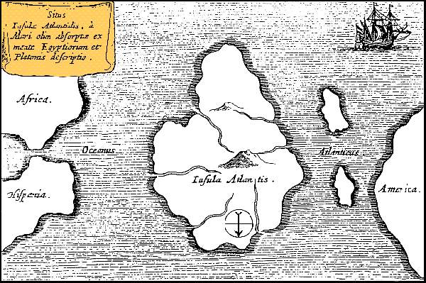
One of the greatest mysteries and legends of Greek mythology is the lost island of Atlantis.
According to the philosopher Plato, the fabled island was an impressive naval power that managed to conquer both Western Europe and Africa before it disappeared under the ocean depths “in a single day and night of misfortune.”

The legend of Atlantis continued to evolve over the thousands of years since Plato’s time, with treasure seekers still searching for the lost island.
Back in 2009, rumors that Atlantis had been found circulated when Google published new ocean maps with a grid-like arrangement of lines in the Atlantic ocean that were reminiscent of the way Maps displayed city streets.
As noted above, and as silly as it sounds, a rumor quickly spread across the ‘Net that the lost city of Atlantis had been discovered.
Unsurprisingly, Google was quick to an issue an official statement, clarifying that the grid-like lines were nothing more than an erroneous artifact left over from overlapping data sets mapped by a towed sonar device.
Roughly 3 years later, Mountain View has finally updated its maps and removed the grid-like lines in the ocean that caused such a stir.
“The original version of Google Ocean was a newly developed prototype map that had high resolution but also contained thousands of blunders related to the original archived ship data,” explained geophysicis David Sandwell.
“UCSD undergraduate students spent the past three years identifying and correcting the blunders.”
The new version of Google Ocean Maps, which is an extension of Google Earth, brings with it numerous updates in addition to fixing the grid errors, such as improved image accuracy of ocean maps.
Of course, only time will tell if Google’s removal of the “Atlantis grid” will put a stop to the rumors once and for all. Personally, I very much doubt it will.


