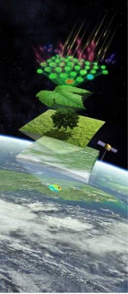
Plants convert energy from sunlight into chemical energy during a process called photosynthesis. This energy is passed on to humans and animals that eat the plants, and thus photosynthesis is the primary source of energy for all life on Earth.
But the photosynthetic activity of various regions is changing due to human interaction with the environment, including climate change, which makes large-scale studies of photosynthetic activity of interest. New research from a team including Carnegie’s Joe Berry reveals a fundamentally new approach for measuring photosynthetic activity as it occurs around the planet. It is published this week by Proceedings of the National Academy of Sciences.

Their work is based on a breakthrough in the capacity to use satellite technology to measure light that is emitted by plant leaves as a byproduct of photosynthesis. This light is called fluorescence and it is produced when sunlight excites the photosynthetic pigment chloropyll. The method offers a direct measurement of activity occurring as the satellite passes overhead. Other approaches to detecting photosynthetic activity on a large scale are less direct, so until now, models have been the primary tool for estimating photosynthetic productivity on a planetary scale. The accuracy of these models has been difficult to evaluate.
“This new method uses satellites to sense fluorescence emitted during photosynthesis,” Berry said. “It changes everything. It gives us a direct observation of photosynthesis on a large scale for the first time ever.”
The team’s paper reports on observations of fluorescence from large areas of crops in the Midwestern Corn Belt. The data show that the previous model-based estimates of photosynthesis are too low.
What’s more, these studies provide a new-and-improved tool to evaluate the comparative productivity of the breadbaskets of the world, such as the Indo-Gangetic Plain and Eastern China. The relationship between fluorescence measured from space and gross primary production measured in the Corn Belt also provides a way for researchers to assess in near real-time the production of other, non-agricultural areas of the world, including vast expanses of uncultivated forests and grasslands.


